The Critical Role of Bottom Mapping in Wastewater Lagoon and Stormwater Pond Sludge Quantification
By: Andrew Ambrocichuk, P.Eng.
Introduction
When it comes to wastewater lagoon and stormwater pond management, understanding the depth and distribution of sludge and sediment accumulation is vital. Sludge quantification studies provide the foundation for maintenance decisions, whether for dredging, bioaugmentation, or other interventions. However, at Hydrasurvey, we've found that relying solely on engineered drawings can lead to inaccurate sludge volume measurements—resulting in inefficient and costly maintenance efforts.
Over the years, Hydrasurvey has surveyed over 700 ponds, and the data we've gathered has highlighted a key issue: the actual conditions of lagoons and ponds often don't match the as-built drawings. This discrepancy between design intent and real-world conditions underscores why mapping the bottom of these ponds is critical.
As-built drawings don't always match to real-world lagoons and ponds
Why Engineered Drawings Aren't Enough
Engineered drawings are invaluable during the initial construction of a wastewater lagoon or stormwater pond, providing detailed specifications of the liner depth, shape, and volume. However, as time passes, natural and man-made factors can alter these conditions. Erosion, sediment deposition, and even construction variances can lead to changes that aren't captured in the original drawings.
As a result, relying solely on these documents for sludge quantification means you're working with assumptions rather than facts. The assumed liner depths in the drawings might not reflect the actual situation, leading to inaccurate sludge volume calculations.
The Importance of Physical Mapping
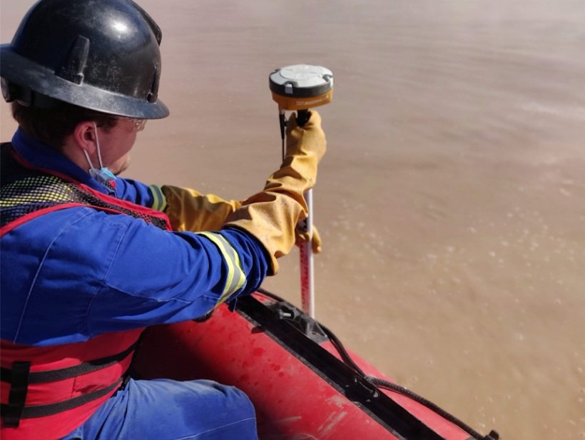
This is where physical mapping comes into play. By using advanced bathymetric survey techniques, Hydrasurvey can accurately map the true bottom of the lagoon or pond. This provides a precise picture of the current conditions, including any variations in liner depth that might have occurred since the pond's construction.
With accurate bottom mapping, the sludge quantification study is grounded in reality rather than assumptions. This allows for a more accurate assessment of sludge volumes, which in turn leads to better decision-making when it comes to maintenance and remediation efforts.
Physical Liner Mapping in an Industrial Wastewater Lagoon
Real-World Implications
Accurate sludge quantification has far-reaching benefits:
Cost-Effective Maintenance: With precise data, you can avoid unnecessary dredging or overestimating sludge removal needs, saving both time and money.
Regulatory Compliance: Accurate sludge measurements help ensure that your facility remains in compliance with environmental regulations, reducing the risk of penalties or fines.
Operational Efficiency: With a clear understanding of sludge levels, you can optimize your pond's operation, ensuring that it functions as efficiently as possible.
A Well-maintained Wastewater Lagoon Ensures Operational Efficiency
Conclusion
In the world of wastewater and stormwater management, accuracy is everything. At Hydrasurvey, our experience has shown that physical mapping of lagoon and pond bottoms is essential for achieving this accuracy. By prioritizing precise liner measurements through advanced survey techniques, we help our clients make informed decisions that lead to efficient, cost-effective, and environmentally responsible sludge management.
Don't rely on assumptions—rely on data. Trust Hydrasurvey to provide the accurate information you need to keep your operations running smoothly.
Sediment Map from a Stormwater Maintenance Facility in Alberta


