
Stormwater, Raw Water, Lakes & Rivers
Smart Sediment Monitoring for Better Water Management
Hydrasurvey offers high-precision sediment surveys for stormwater ponds, raw water reservoirs, lakes and rivers. Our data helps you manage capacity, meet regulations and plan maintenance with confidence.
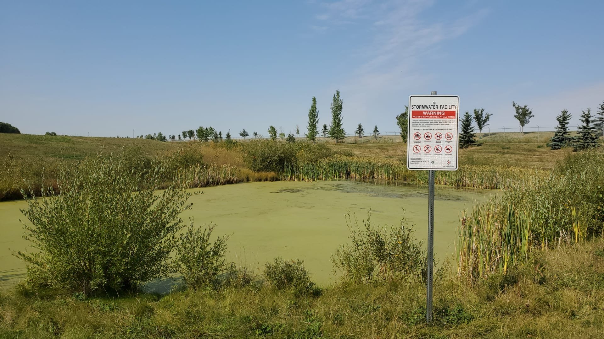
Stormwater Retention Ponds
Stormwater ponds prevent flooding by managing runoff but over time, they fill with sediment.
Why It Matters
We Help You
Understand sediment levels and capacity
Plan cleanouts and maintenance
Stay prepared for extreme weather events
Services
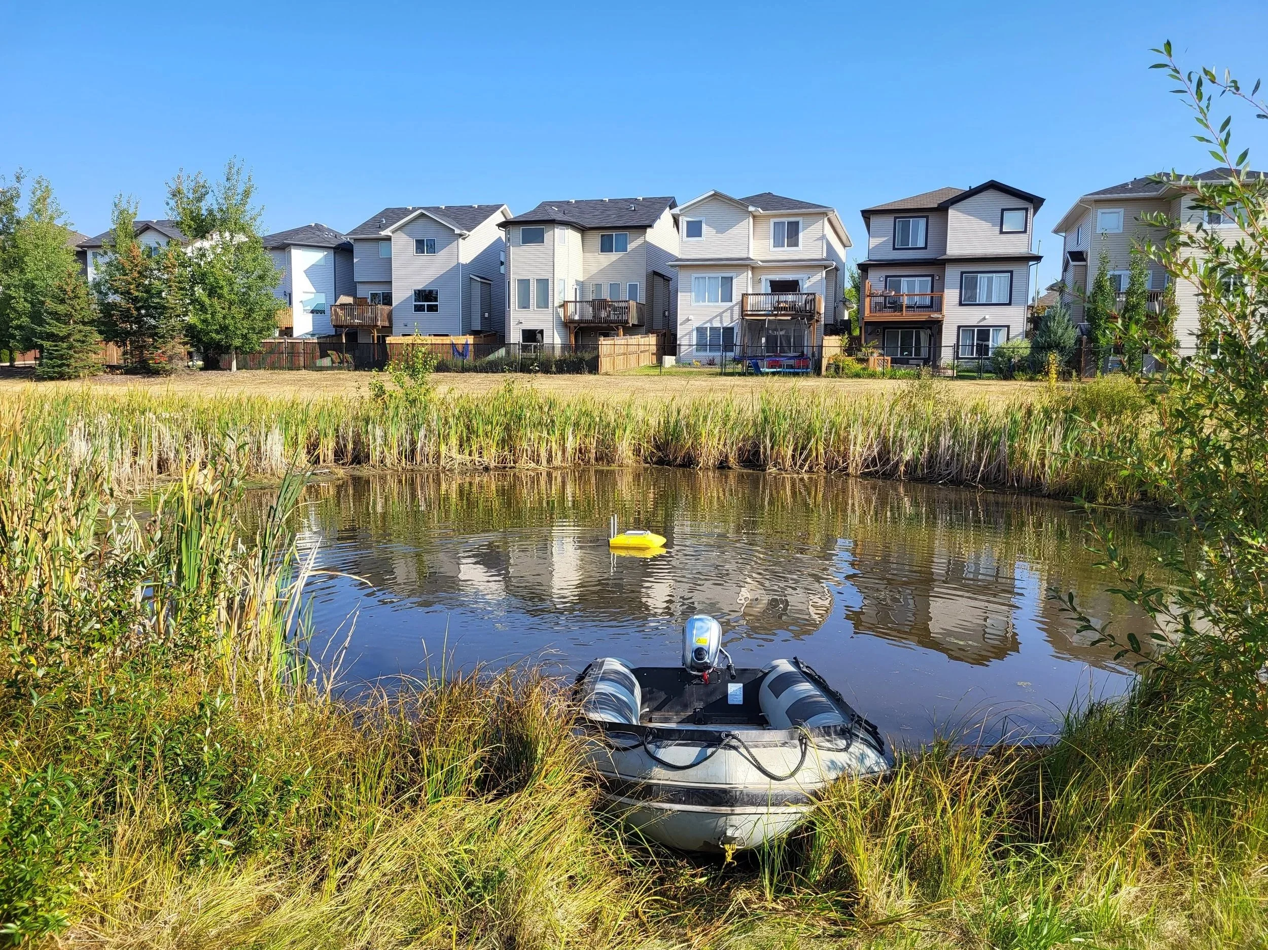
Stormwater Sediment Surveys
Detailed Risk Matrix Maintenance Reports
3D Sediment Mapping (with drone overlays)
Use our data to prioritize which ponds need cleaning and when.
Raw Water Ponds
Why It Matters
These ponds store untreated water for drinking but sediment reduces their storage capacity over time.
We Help You
Measure sediment build-up accurately
Protect reservoir capacity
Prevent contamination with clean survey equipment
Services
Sediment Volume Reports
Presentation-Ready 3D Thickness Maps
Risk Maintenance Reports
All surveys are done with disinfected, battery-operated tools to keep your water clean and safe.
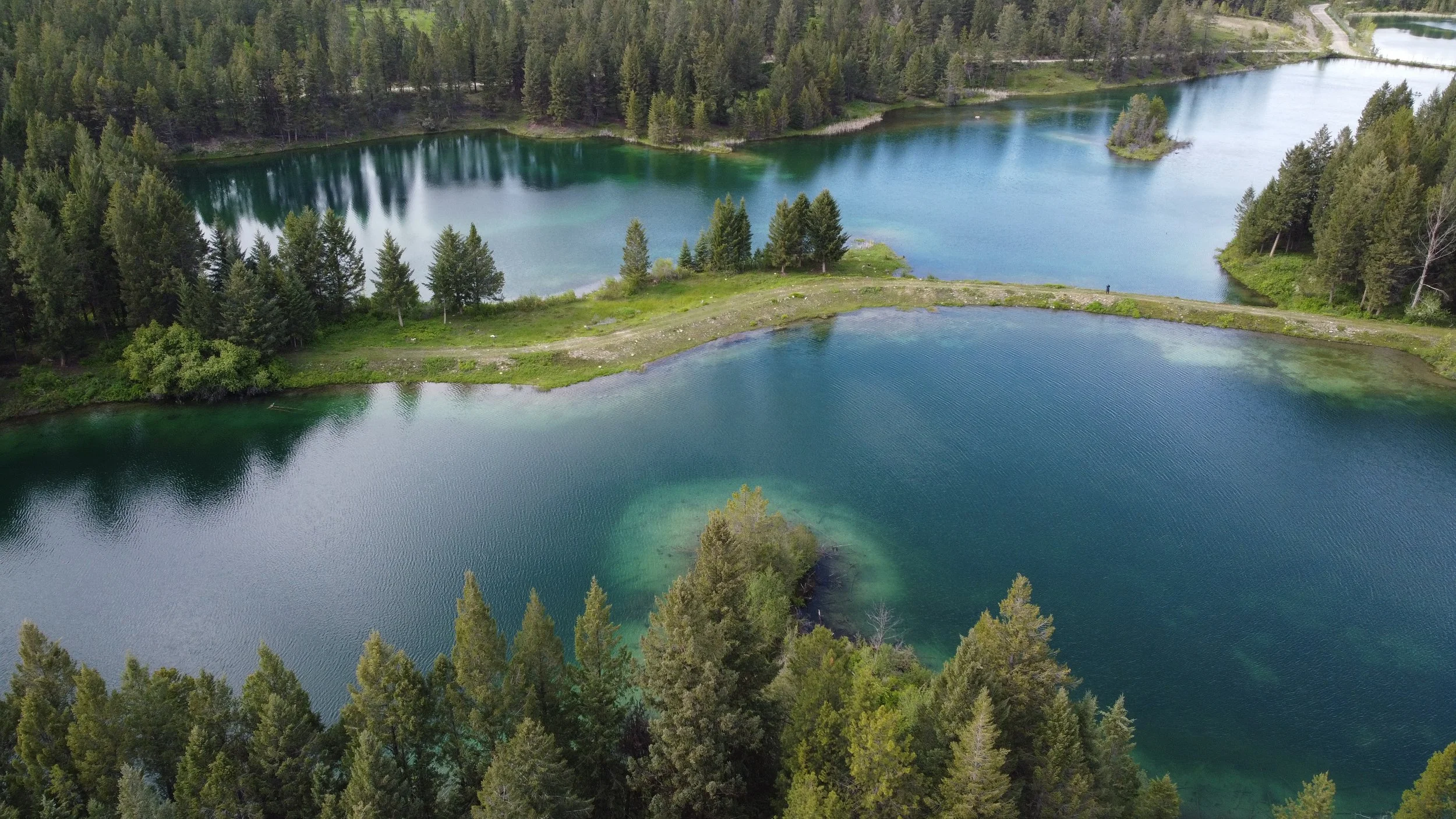
Lakes & Rivers
Why It Matters
Construction or natural events can change sediment levels which can impact ecosystems and infrastructure.

Track environmental impact pre- and post-construction
Ensure regulatory compliance
Monitor long-term changes in depth and structure
We Help You
Services
Drone-Assisted Mapping
Intake/Outlet Locating
Pond and Water Quality Assessments
Our detailed reports support permitting, remediation and planning.