
Stormwater Retention Ponds, Raw Water Ponds & Lakes / Rivers
Stormwater & Raw Water Pond Surveys – Accurate Sediment Analysis for Better Planning
Hydrasurvey specializes in accurate sediment analysis and hydrographic surveys for stormwater retention ponds, raw water ponds, lakes, and rivers. Our services help municipalities, industries, and environmental organizations optimize water management and maintenance planning.
What We Offer:
Stormwater Retention Ponds: Identify sediment buildup and plan maintenance with 3D sediment maps and bathymetric surveys.
Raw Water Ponds: Maintain drinking water reservoirs by measuring sediment levels using contamination-free hydrographic equipment.
Lakes & Rivers: Assess environmental impact and compliance through pre- and post-construction sludge surveys.
Our cutting-edge drone-assisted surveys and autonomous vessels ensure precise, data-driven decision-making for waterway management.
Stormwater Retention Ponds
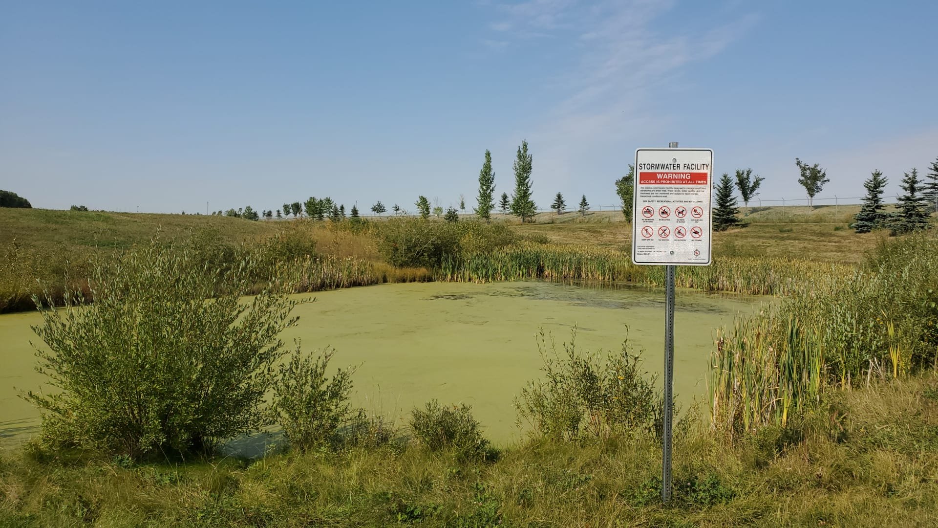
Stormwater retention ponds play a vital role in managing excess groundwater and runoff, particularly in emergency situations. Proper monitoring of these ponds is crucial for municipal planning and water management.
Why Monitor Stormwater Retention Ponds?
Understand Capacity & Sediment Levels: Determine the amount and composition of sediment.
Efficient Maintenance Planning: Identify ponds that are at capacity and require cleaning or maintenance.

Our Services
Stormwater Retention Pond Survey: Accurately measure sediment levels.
Sediment Thickness Mapping: Gain insight into sediment accumulation.
3D Sediment Mapping: Assess sediment buildup effectively. Our bathymetric sediment surveys provide detailed 3D maps overlaid with drone imagery.
Raw Water Ponds
Raw water storage ponds are essential for supplying drinking water from reservoirs. Over time, sediment accumulation reduces their capacity, making regular measurement and mapping essential.

Benefits of Raw Water Pond Surveys:
Accurate Sediment Measurement: Understand your pond’s true capacity.
Contamination-Free Surveys: Our hydrographic survey equipment is self-contained, battery-operated, and disinfected before each use.
Comprehensive Reports: Receive detailed sediment volume data and 3D thickness maps for informed decision-making.
Presentation-Ready Maps: Use our reports for planning and municipal council presentations.
Lakes and Rivers
Bathymetric and hydrographic surveys help assess sediment changes in lakes and rivers before and after construction projects. These surveys provide critical data on sludge buildup, intake and outlet heights, and project impact assessments.
Why Conduct Lake and River Surveys?
Monitor Environmental Impact: Track sediment changes due to construction.
Ensure Compliance: Confirm that remediation meets project plans.
Improve Waterway Management: Measure capacity and structural changes over time.

Our Survey Capabilities
Post-Construction River Sludge Surveys: Assess sediment displacement.
Drone-Assisted River Surveys: Cover large areas efficiently.
Detailed Bathymetric Mapping: Generate high-precision river sediment reports.
Optimize Your Water Management with Expert Surveys
With advanced bathymetric technology and years of experience, HydraSurvey provides the most accurate sediment and sludge measurements for stormwater, raw water, and natural water bodies.
Still not Convinced?
Explore Hydrasurvey's past projects to see how our industry leading services have helped clients reduce costs and optimize operations.